Courant des Bahamas

2151 lectures / 4 contributions / 0 nouveau(x)
Fab
Hors ligne
OVNI 345
Inscrit forum
Courant des Bahamas
sujet n°97024
Bonjour,

Est-ce que quelqu'un sait quelle est la force et la direction du courant qui circule dans les Bahamas ou vaut-il mieux les contourner par le nord si l'on fait route de St-Martin à Cape Canaveral.

Merci
Hors ligne
TIROT 702
Inscrit forum
réponse n°174640

Bonjour,
Le courant est sud > nord donc dans le bon sens pour toi. Il n'y a pas de problème pour remonter les Bahamas, surtout avec ton type de bateau.
En général , les voiliers passent au sud de Grand Bahama Island et virent vers la Floride en direction de Palm Beach, ou Jupiter Inlet ou remontent vers Cap Canaveral comme tu veux le faire soit directement, soit par l'ICW.

Premier lien     : la carte et la force du courant du Gulf Stream .
Deuxième lien : naviguer dans les Bahamas.

THE CURRENT
The other major problem faced when taking a boat across the Gulf Stream is the heavy current continuously pushing to the east in the lower Florida Keys and to the north around the Miami area. This current varies some in strength, but it will almost never move at less than 2 1/2 knots, and it can push along as fast as six knots.
We once delivered a 26-foot sloop from Marathon to Palm Beach, a voyage of about 160 miles. We covered that 160 miles in just over 15 hours, an average of about 10 1/2 knots. That little sloop couldn’t do more than six knots maximum, so we had more than four knots of current for that voyage.
For slower vessels, like sailboats and trawlers, which are in the grip of the current for long periods, it’s critical to calculate set and drift and make the necessary course adjustments. The following routes, figured for a cruising speed of five knots, include the set and drift corrections based on an average 2 1/2 knot current.
 
CROSSING ROUTES
There are six basic crossing areas for moving a boat across the Gulf Stream in the South Florida area.
 
Between Florida and Freeport, Grand Bahama. This is the northern end of the crossing area, and while the voyage is not long, boaters encounter the strongest current. By and large, try to make a Florida/Grand Bahama crossing from as far south as possible. When bound from Palm Beach for Grand Bahama in a slow boat, steer 130 degrees true. This heading allows for the strong current in the Gulf Stream as well as the northwesterly current flowing along Grand Bahama Island from the Northwest Providence Channel.

google_protectAndRun("ads_core.google_render_ad", google_handleError, google_render_ad);

Approaching Grand Bahama, which is low and difficult to see, the water tower at West End is the landmark. At night, the TV tower has a flashing red light that be seen from several miles. There is also considerable boating traffic and big tankers can usually been seen anchored or tied to the moorings offshore Freeport.

When going from Grand Bahama to the Florida coast (Palm Beach), steer 255 true. If heading further up the Florida coast, cross the Gulf Stream quickly until visual contact is made with the Florida coast, then follow it north rather than linger offshore in the Gulf Stream.
 
• Between Fort Lauderdale and Great Isaac Light. This is the crossing route normally used by sailboats heading back and forth to the Bahamas. Going east, steer 125 degrees true.
In night crossings, Great Isaac Light offers the advantage of having a big light visible 23 miles in clear weather. During the day, however, the tall, thin lighthouse and the pancake flat Great Isaac Cay can be tough to spot.
More noticeable are the anchored tankers and ships waiting their turn to tie up at the refineries 35 miles to the north at Freeport. They anchor on the 13-fathom shelf northwest of Great Isaac to take advantage of the shelter that the Great Bahamas Bank provides.
Going from Great Isaac to Fort Lauderdale, steer 245 true. This is usually an easy crossing, and the only thing to be careful about is losing navigational aids and lights in the conglomeration of lights at night when approaching the Florida coast.
 
Between Miami and Bimini. This is the narrowest place to cross the Gulf Stream, just under 45 miles. Here, the standard practice is to first sail down to Fowey Rocks, 10 miles south of Miami, to gain an edge on the strong northerly current. From Fowey Rocks, steer 115 degrees true for Bimini.

google_protectAndRun("ads_core.google_render_ad", google_handleError, google_render_ad);

When approaching Bimini at night, look for the radio tower with its red lights. During the day, the first thing normally seen is fishing boats trolling offshore Bimini.

When going from Bimini to Miami, steer 240 degrees true. Try to leave Bimini early in the morning (3 a.m.) in order to make daytime landfall along the Florida coast. Nighttime approaches to Miami can be dangerously confusing due to the great numbers of lights on the coast.
 
• Between the Florida Keys and Bimini. This crossing is used primarily by yachts coming and going between the Bahamas and Gulf of Mexico. From the Keys to Bimini, jump off at Molasses Reef. From there, steer 90 degrees true.
Vessels coming the other way, southwest across the Gulf Stream, should attempt to cross as directly as possible, and then closely follow the reefs off the Florida Keys. From Bimini, steer 235 degrees true.
 
• Between the Florida Keys and the Cay Sal Bank (the extreme southwest Bahamas). This crossing is used by vessels that will then follow the Old Bahamas Channel along the north coast of Cuba.
I have been up and down the Old Bahamas Channel a number of times, and do not recommend it. The current is strong, there is a lot of large vessel traffic, and boaters always run the risk of tangling with Cuban military vessels.
 

http://www.sea-seek.com/index.php?geo=2948

http://www.bootkeyharbor.com/Bahamas.htm

Hors ligne
Inscrit forum
réponse n°174645

Le seul point délicat est vent contre courant (de l'ouest à l'est par le Nord) qui peut lever un mer impraticable (même courant portant).

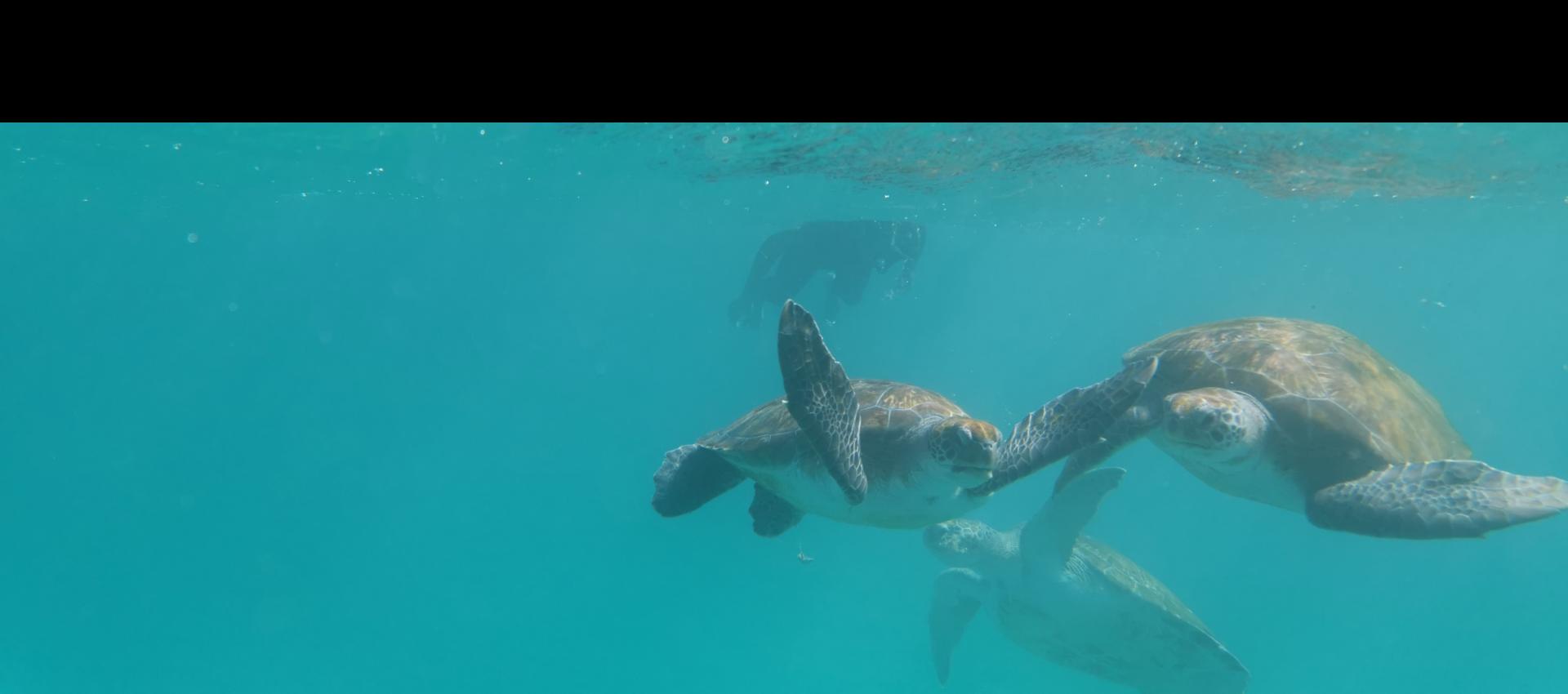
Avec du temps, en venant de Saint Martin, on peut visiter British, US et Spanish Virgin Islands, Puerto-Rico, République Dominicaine (Samana, Luperon) puis les Turks & Caicos pour "filer" sur les Bahamas. Les îles du sud sont de loin les plus interressantes et les plus accueillantes. Rejoindre les Exumas, les Berry, traverser le Bank vers Bimini et se laisser porter par le Gulf Stream jusqu'à Cape Canaveral. Ca devrait rester inoubliable Clin


Fab
Hors ligne
OVNI 345
Inscrit forum
réponse n°174648

Merci.

J'ai fait le trajet en passant par l'Est de tout mais la traversée du Gulf Stream a été difficile car on est tombé en panne moteur qui a ensuite fini par redémarer sans trouver aucune panne (on a dérivé 5h plein nord).

Je me demandais si en passant par l'intérieur des Bahamas, ça n'aurait pas été mieux j'ai cru lire quelques parts qu'il y avait un fort courant entre les iles, mais en mer je n'avais plus l'info, du coup j'ai fais le tour complet.


Le site de la Grande Croisière...